Playa & Canyon Crossings
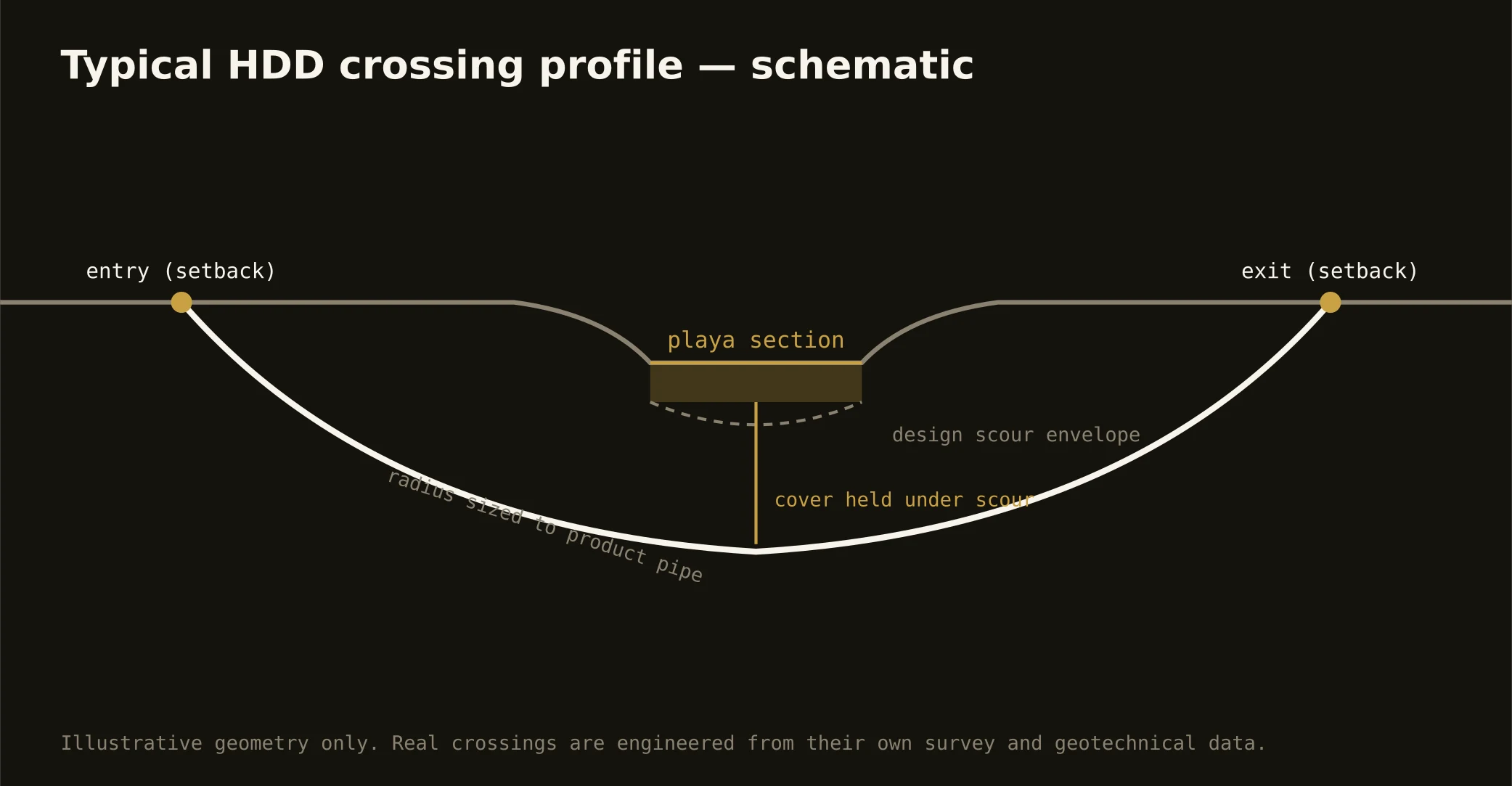
The playas are the plains' entire hydrology: thousands of shallow, clay-floored basins — each a closed world where the tabletop's stormwater ends its journey — and Lubbock's genius was building with them, wiring its drainage into the basins and ringing them with parks. Utility routes cross playa country constantly, and the signature local bore threads a basin's fringe: entry and exit on the rim ground, a profile passing beneath the basin's engineered role, and absolute respect for the clay floor that makes a playa work — because a punctured playa floor is a broken piece of the region's stormwater machine, and the city's drainage interests review accordingly. Wetland jurisdiction joins the picture on basins the maps flag, since playas are the plains' wildlife oases too.
The canyon system carries the signature's other half: Yellow House Draw cutting through the city as the canyon-lakes chain — dammed, parked, and beloved — before running east to where the cap ends entirely: the escarpment, where Crosby County breaks off the Llano into canyon country and the geology changes wholesale in a mile. Breaks crossings meet the White River's and the draws' incised reaches, exposed strata the cap concealed, and grades the tabletop never taught — engineered per reach, with the escarpment's drama priced as the site condition it is.
Fluid discipline runs plains-grade throughout: containment staged, returns monitored, and the response plan written before the pilot turns — over the Ogallala's country, in the playas' catchments, tight practice is simply what stewardship looks like at a drill rig.