Directional Drilling in Lubbock
The Hub City of the Llano Estacado — a tabletop so flat the horizon is the only landmark, dimpled by thousands of playa lakes that are the region's entire drainage system, cemented underneath by the caprock's own concrete, and dropping off the east edge into canyon country. South Plains HDD is caprock drilling in playa country — and it's ours.
HDD is the whole job here
The Llano Estacado is geometry first: one of the flattest large landforms on Earth, a mesa the size of a state, and Lubbock sits in the middle of its southern half. The ground is layered like the land is flat — windblown loams and sandy clay loams at the surface, friendly drilling for the first several feet, and then the cap's own signature: the petrocalcic horizon, calcium carbonate cemented over millennia into rock-hard ledges the locals simply call caprock. It isn't bedrock; it's the plains' homemade concrete, sitting at depths that vary yard to yard, drilling as genuine rock when thick and as stubborn resistance when thin — and every honest South Plains quote states its cap assumption and carries the tooling for the answer.
The water writes the region's other two signatures. Above: the playas — thousands of shallow, clay-floored basins dimpling the tabletop, the plains' entire natural drainage system, since no stream leaves this surface; Lubbock built itself around its playas, running stormwater into them by design, ringing them with parks and neighborhoods, which makes playa-fringe crossings the signature local bore and playa-function respect a civic requirement. Below: the Ogallala, the great aquifer that made the South Plains the world's densest cotton patch, drawn down hard by generations of irrigation and now stewarded with a seriousness every driller here must share — clean fluid practice over the recharge country isn't virtue; it's citizenship in an economy that lives on that water.
The market runs Hub City practical: the cotton empire's gins, co-ops, and ag-industrial belt; Texas Tech's campus economy; a medical hub serving half the Panhandle-Plains; wind-energy corridors marching the horizon; and the canyon-lakes system where Yellow House Draw cuts through town toward the escarpment — where Crosby County drops off the cap into the breaks. Behind it all sits the network desk — 50,000+ boring calls answered, ~10,000 crossings quoted, 2,000+ drilled — pricing the South Plains with the cap and the playas already in the math.
Fiber-Optic Boring
Campus and medical-hub duct, ag-belt laterals, and FTTH across the grid.
Electrical Duct Boring
Feeders for the ag belt, campus loads, and a grid that fights the wind.
Water & Force-Main Boring
Pressure pipe for a region that measures its future in feet of aquifer.
Playa & Canyon Crossings
The signature South Plains bore: the basins that drain the tabletop, and the breaks where it ends.
Road & Highway Crossings
The loop, the spokes, and the section-line grid — cap-stated and bundled smart.
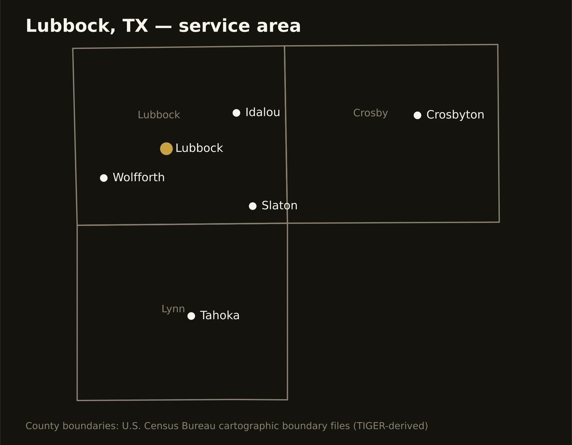
Three counties on and off the cap — Lubbock with the Hub City and its playa-dimpled grid, Crosby breaking over the escarpment into canyon country east, and Lynn running the cotton flats south. Full county list on the service-area page.