How Directional Drilling Works in Lubbock Ground
Loam over cement: the cap's arithmetic
The South Plains' profile is consistent enough to state as arithmetic: windblown loams and sandy clay loams at the surface — cooperative, fast, honest drilling — over the petrocalcic horizon, the calcium-carbonate cement the plains built over millennia, at depths that vary yard to yard and thicknesses that range from a stubborn crust to full rock-class ledges. Below it, the red beds run deep and mostly out of utility range. The estimating consequence is the cap assumption: every honest quote states where it expects the cement, how thick, and what tooling rides the trailer — because the plains' concrete doesn't announce itself until the bit finds it, and stated assumptions are how schedules survive the finding.
Playas above, Ogallala below: the water doctrine
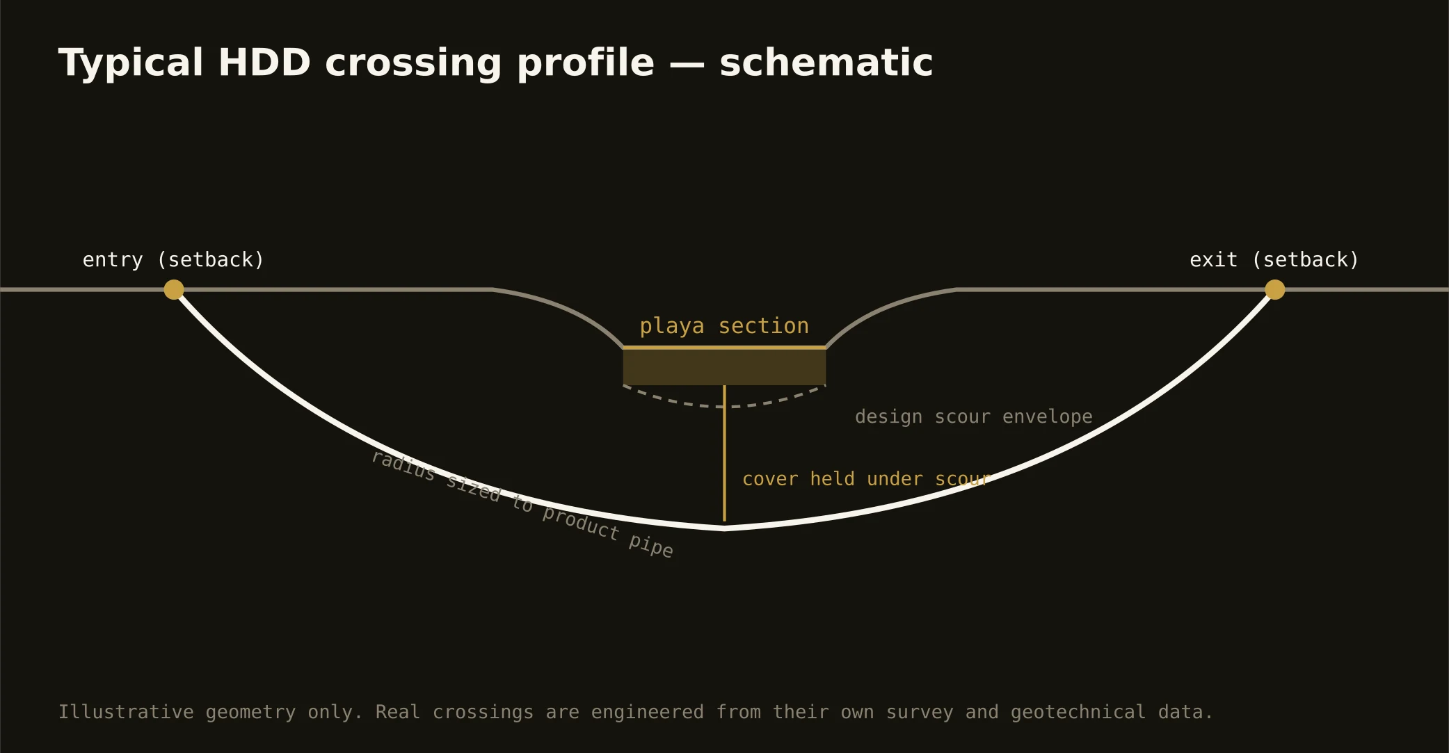
The region's two water systems bracket every bore. The playas above: thousands of closed basins doing all the drainage a streamless tabletop has, wired into the city's stormwater design and flagged as wetlands where the maps say so — their clay floors are functional infrastructure, and crossing their fringes carries that respect as scope. The Ogallala below: the aquifer that built the cotton empire, drawn down and now stewarded by districts the region takes seriously — clean-fluid practice, containment, and disposal discipline run standard over its country, which is to say everywhere. Neither system tolerates carelessness; both reward the desk-first habits our quotes are built on.
The sequence, South Plains edition
The bones are standard — locates plus private designating, potholes on every claimed utility, pilot on profile, ream to about one and a half times the product, pull, restore. Plains bends: the cap assumption stated and tooled, playa manners at every basin fringe, Ogallala-grade fluid discipline throughout, wind-aware staging on a horizon that means it, dust-conscious practice in the dry months, and restoration that treats city lawns, cotton headlands, and canyon-park edges as the different surfaces they are.
Who owns what you're crossing
The Hub City and the towns run their own ROW counters; three county departments cover the section-line miles; TxDOT permits the loops, I-27, and the farm-to-market system. The city's drainage interests review playa-fringe work with wetland jurisdiction on flagged basins; the groundwater districts steward the Ogallala's use; the canyon-lakes chain carries park and dam interests through town; railroads permit the gin-and-ag serve; and the wind corridors bring operator coordination on the horizon. The quote names every owner on your alignment — here, the first questions are how deep the cement sits and which basin is nearby.
Straight answers
Will you hit rock on my bore?
The plains' version: not bedrock, but the cap — cemented caliche that behaves like rock when fully developed, at depths that vary enough to state rather than guess. Shallow work often rides the loams clean; deeper profiles meet the cement somewhere; and the quote's stated assumption plus staged tooling is how the difference stays boring.
How deep do bores run under Lubbock streets?
Cover follows the owning authority's standard and sits below everything potholed on the alignment — with playa-fringe crossings running to the basin's functional criteria and depths chosen against the cap where the cement's ledge argues for it. The plan states your number and the cap assumption at it.
Does the wind actually affect drilling?
It affects everything on this horizon: staging, spoil management, dust practice, and crane-and-mast decisions all run wind-aware on a plain with nothing to slow a gust from Canada. It's a planning input rather than an obstacle — the plains taught everyone here to build with the wind in mind, and our site plans keep the lesson.
Ready to put a number on a real crossing? Send the scope — a person prices it.